vTools Survey: A Comprehensive Mapping and Surveying Application
vTools Survey is a free mapping and surveying application for Android developed by vTools Apps. The app provides a range of features that allow users to create objects such as points, lines, polygons, and coordinate waypoints, and to measure the area and length of objects in the field. Users can simultaneously create Tracklog, Point, Line, and Polygon at the same time while moving, and the Tracklog mode allows running in the background.
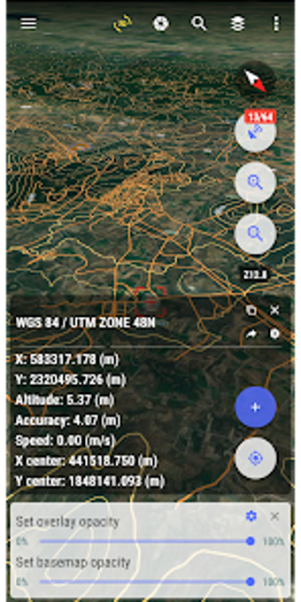
One of the most useful features of vTools Survey is its support for more than 5000 projection systems of other countries and territories in the world, including the VN 2000 projection system of the local and nationwide of Vietnam. The app also supports old projection systems like HanoiHN 72). Additionally, vTools Survey supports numerical compass features, offline map data MBTiles, and intelligent management of data layers. Users can also download Google, MapBox, Bing, ESRI, OSM directly on the computer for offline use.
Overall, vTools Survey is a comprehensive mapping and surveying application that offers a wide range of features for both casual and professional users.